June 3rd, 2025
Today and Tonight
The probability for widespread hazardous weather is low.
Wednesday through Monday
Showers and storms are possible Thursday into Friday and again on Saturday. The severe potential will be better determined in the upcoming days.
SPOTTER INFORMATION STATEMENT…
Spotter activation may be needed at times this afternoon and evening.
Nebraska Weather Radar
Lancaster County NOAA Weather
-
Severe Weather Outlook
(open for interactive radar map)

-
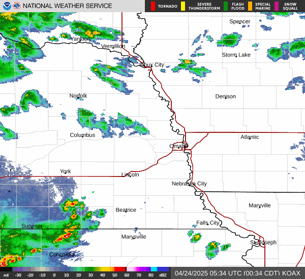
Omaha Radar
(open for interactive radar map)
-
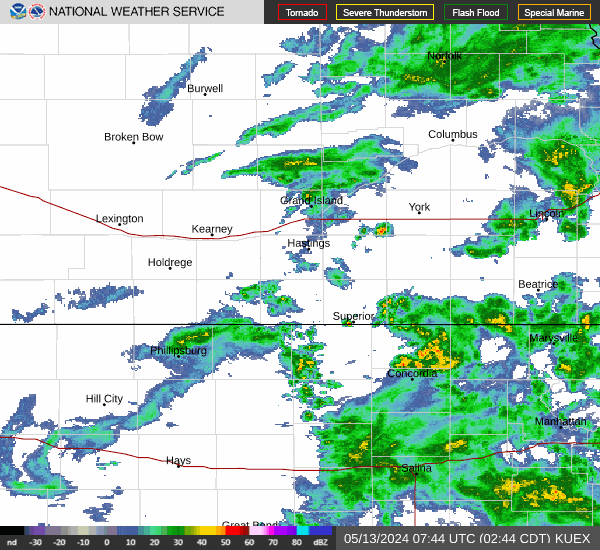
Hastings Radar
(open for interactive radar map)
-
Tornado Watch
(open for interactive radar map)

-
Today
(open for interactive radar map)

-
Tomorrow
(open for interactive radar map)

Lincoln-Lancaster Emergency Mngmt
When storms hit, we are some of the first volunteers to respond. Get involved today.